【CHINTERGEO Product Collection】 - Unmanned Aerial Vehicle Flight Control System Section
Preface of the Conference:
In the wave of intelligent upgrading of the surveying and mapping geographic information industry, the unmanned aircraft flight control system, as the "core brain", is the key to determining the accuracy and efficiency of surveying operations. The full-process unmanned operation of autonomous flight flight control and the industry-customized adaptation of surveying-specific flight control terminals are becoming the core competitiveness of surveying equipment.
This issue of the CHINTERGEO product album focuses on two core categories: unmanned aircraft autonomous flight flight control and surveying-specific flight control terminals. It selects the core products of industry benchmark enterprises and elaborates on the product highlights and application value.
I. Benchmark Flight Control Products Presentations
01 Guangzhou Zhonghaidao
1. D100H Multi-rotor Intelligent Aerial Surveying System:
Equipped with a surveying-specific flight control terminal, integrating GNSS/RTK + inertial navigation module, adopting a three-redundancy design, with strong anti-magnetic interference capability, improving the positioning stability of the inertial navigation in complex environments, supporting centimeter-level positioning, cloud trace calculation, and no need for base station collection, it can achieve one-click operation from planning to take-off and calculation, and also has functions such as terrain-following and flight-like flight, applied to large-scale topographic surveying, cadastral measurement, and emergency surveying scenarios.
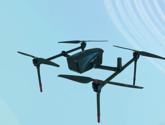
 2. iFlyD1Pro Intelligent Aerial Surveying System:
Integrates autonomous flight flight control, supporting multi-model and multi-scale standard flight routes planning, can achieve optimal flight routes design for irregular measurement areas, equipped with various intelligent flight routes functions such as intelligent block division, architecture flight routes, and edge flight routes, and also equipped with emergency parachute landing and other fault handling mechanisms, with an integrated interface design that is convenient for payload installation and compatible with multiple payloads without additional debugging, applied to tilt photography modeling, urban three-dimensional surveying, and engineering surveying scenarios.
2. iFlyD1Pro Intelligent Aerial Surveying System:
Integrates autonomous flight flight control, supporting multi-model and multi-scale standard flight routes planning, can achieve optimal flight routes design for irregular measurement areas, equipped with various intelligent flight routes functions such as intelligent block division, architecture flight routes, and edge flight routes, and also equipped with emergency parachute landing and other fault handling mechanisms, with an integrated interface design that is convenient for payload installation and compatible with multiple payloads without additional debugging, applied to tilt photography modeling, urban three-dimensional surveying, and engineering surveying scenarios.
 02 Shanghai Huazhe Navigation
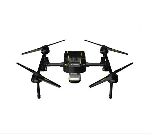
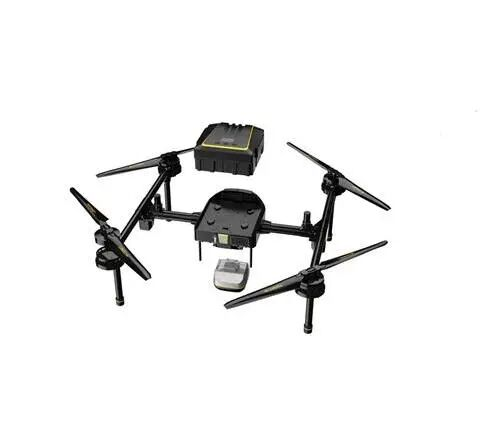
1. X500 Multi-rotor Unmanned Aerial Vehicle:
Equipped with self-developed CAPV2 flight control system, supporting three-rotor self-spin protection, equipped with visual SLAM + millimeter-wave obstacle avoidance module (obstacle avoidance detection distance up to 80 meters), with vSLAM visual positioning capability, stable flight even without GNSS signal, maximum load 5kg, with a 2kg payload, the endurance is 50 minutes, applied to power line inspection, topographic surveying, and emergency rescue scenarios.
02 Shanghai Huazhe Navigation
1. X500 Multi-rotor Unmanned Aerial Vehicle:
Equipped with self-developed CAPV2 flight control system, supporting three-rotor self-spin protection, equipped with visual SLAM + millimeter-wave obstacle avoidance module (obstacle avoidance detection distance up to 80 meters), with vSLAM visual positioning capability, stable flight even without GNSS signal, maximum load 5kg, with a 2kg payload, the endurance is 50 minutes, applied to power line inspection, topographic surveying, and emergency rescue scenarios.

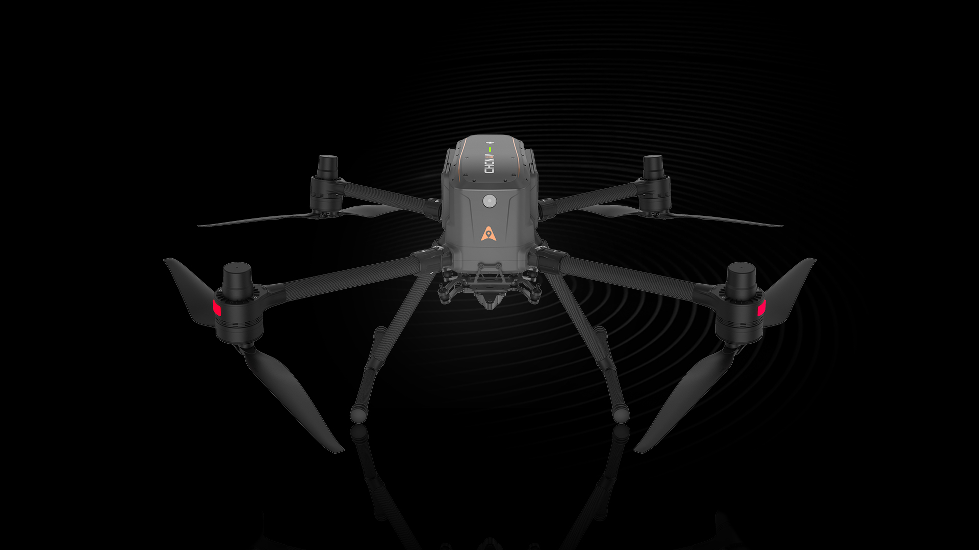
 2. P330 Pro Unmanned Aerial Vehicle:
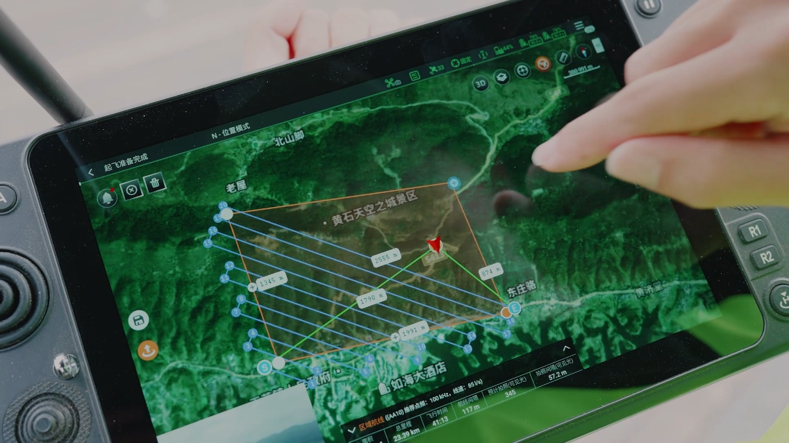
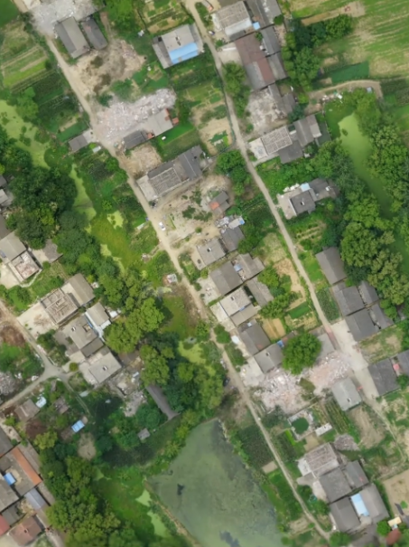
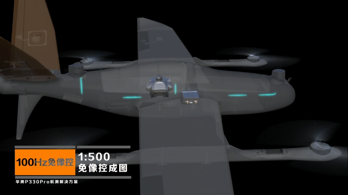
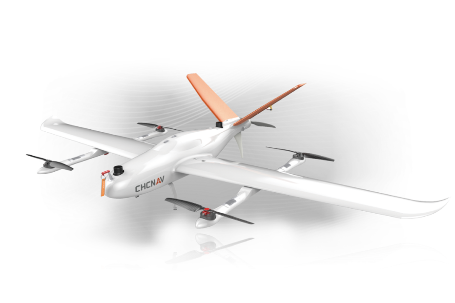
The P330 Pro electric vertical take-off and landing fixed-wing surveying unmanned aerial vehicle integrates a surveying-specific flight control terminal, with high-precision no-image control positioning capability, no-image results can directly meet the requirements of 1:1000 topographic surveying, supporting full autonomous take-off and true three-dimensional terrain flight, maximum load endurance 160 minutes, single flight maximum operation area 30 km², equipped with intelligent maintenance reminder and remote automatic upgrade functions, applied to large-scale topographic surveying, forestry resource investigation, and land monitoring scenarios.
2. P330 Pro Unmanned Aerial Vehicle:
The P330 Pro electric vertical take-off and landing fixed-wing surveying unmanned aerial vehicle integrates a surveying-specific flight control terminal, with high-precision no-image control positioning capability, no-image results can directly meet the requirements of 1:1000 topographic surveying, supporting full autonomous take-off and true three-dimensional terrain flight, maximum load endurance 160 minutes, single flight maximum operation area 30 km², equipped with intelligent maintenance reminder and remote automatic upgrade functions, applied to large-scale topographic surveying, forestry resource investigation, and land monitoring scenarios.
 03 Hezhong Sizhuan
1. UF-M6 Multi-rotor Unmanned Aerial Vehicle:
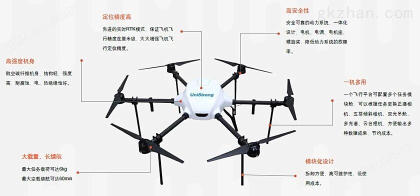
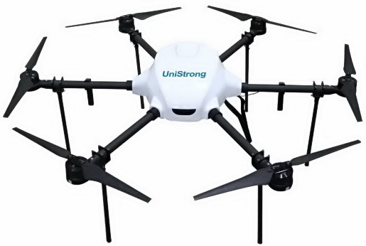
Equipped with autonomous flight flight control, integrating high-precision GNSS/RTK module (supporting centimeter-level positioning), with one-click take-off and full autonomous flight route planning function, simple operation, easy to use for beginners, maximum mission load 6kg, empty load endurance 60 minutes, can quickly replace various task modules such as normal shooting, tilt, dual light, and multi-spectral, applied to surveying aerial photography, environmental monitoring, and emergency communication scenarios.
03 Hezhong Sizhuan
1. UF-M6 Multi-rotor Unmanned Aerial Vehicle:
Equipped with autonomous flight flight control, integrating high-precision GNSS/RTK module (supporting centimeter-level positioning), with one-click take-off and full autonomous flight route planning function, simple operation, easy to use for beginners, maximum mission load 6kg, empty load endurance 60 minutes, can quickly replace various task modules such as normal shooting, tilt, dual light, and multi-spectral, applied to surveying aerial photography, environmental monitoring, and emergency communication scenarios.
 2. UF25 Vertical Take-off Unmanned Aerial Vehicle:
Using a carbon fiber fuselage for lightweight and high durability, the flight control system integrates GPS navigation + inertial navigation fusion positioning, supporting full autonomous vertical take-off, cruising speed 70-100 km/h, endurance 2.5 hours, maximum operating altitude up to 5000 meters, equipped with a large space mission cabin (flexible payload installation method), applied to large-scale national topographic surveying, forestry surveying, and border patrol scenarios.
2. UF25 Vertical Take-off Unmanned Aerial Vehicle:
Using a carbon fiber fuselage for lightweight and high durability, the flight control system integrates GPS navigation + inertial navigation fusion positioning, supporting full autonomous vertical take-off, cruising speed 70-100 km/h, endurance 2.5 hours, maximum operating altitude up to 5000 meters, equipped with a large space mission cabin (flexible payload installation method), applied to large-scale national topographic surveying, forestry surveying, and border patrol scenarios.
 04 Nanfang Surveying
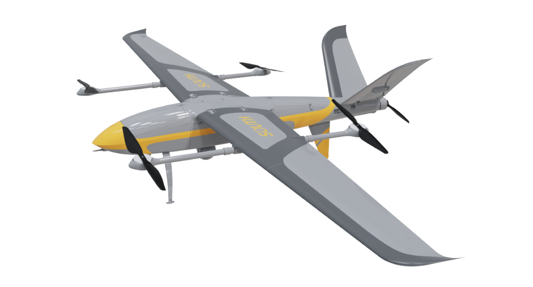
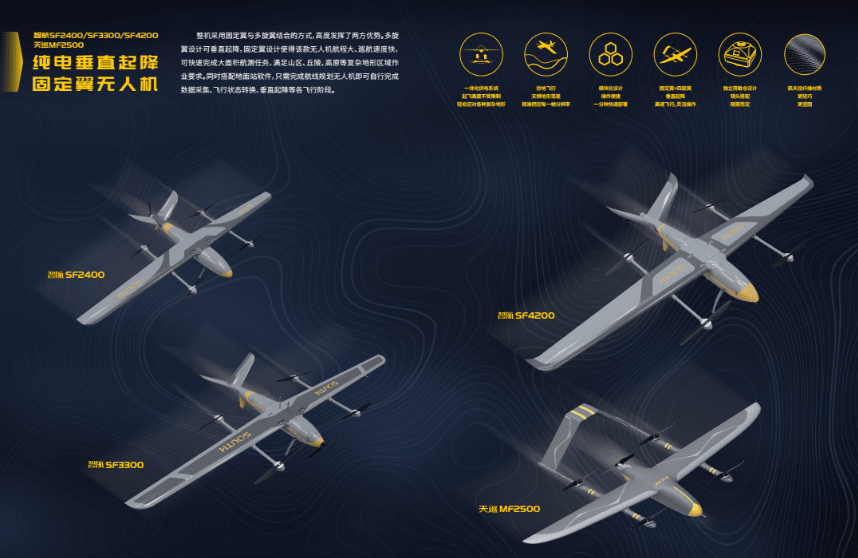
1. Zhihang SF2400 Compound Wing Unmanned Aerial Vehicle:
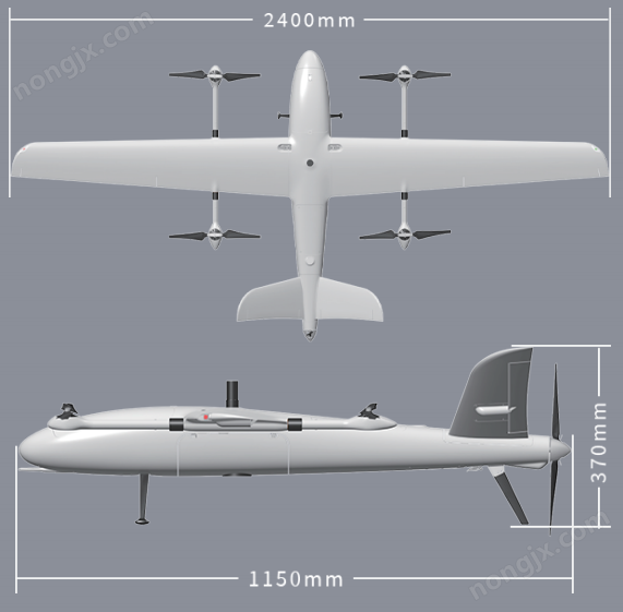
1. Integrated with autonomous flight control system, it supports pure electric vertical take-off and landing, and has the capabilities of automatic route planning and terrain-following flight. It can seamlessly connect multiple measurement areas and has no data misalignment during data stitching. It has a flight duration of 120 minutes, a maximum range of 210 km, an economic speed of 70 km/h, and can be adapted to various surveying sensors. It is applied in large-scale terrain surveying, agricultural census, and resource investigation scenarios.
04 Nanfang Surveying
1. Zhihang SF2400 Compound Wing Unmanned Aerial Vehicle:
1. Integrated with autonomous flight control system, it supports pure electric vertical take-off and landing, and has the capabilities of automatic route planning and terrain-following flight. It can seamlessly connect multiple measurement areas and has no data misalignment during data stitching. It has a flight duration of 120 minutes, a maximum range of 210 km, an economic speed of 70 km/h, and can be adapted to various surveying sensors. It is applied in large-scale terrain surveying, agricultural census, and resource investigation scenarios.
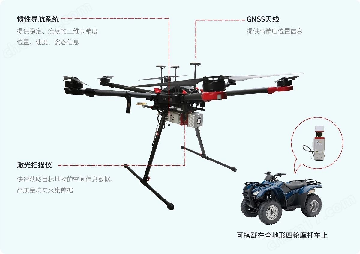
2. SZT-R250 Light UAV:
Equipped with a dedicated flight control terminal for mobile surveying systems, it can be remotely controlled through the surveying system, with low remote control delay and high operational accuracy. It supports various control modes such as pointing flight, route planning, hotspot circling, and slope flight. It is applied in small-scale precision surveying, engineering monitoring, and disaster assessment scenarios.
 05 Micro Navigation
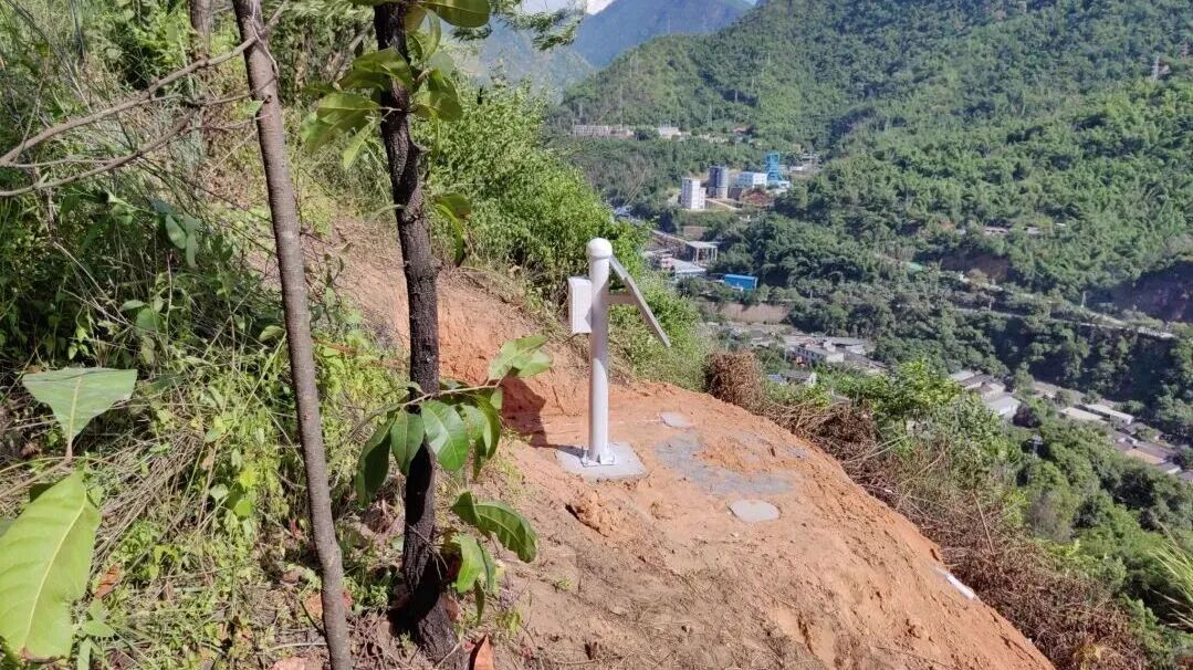
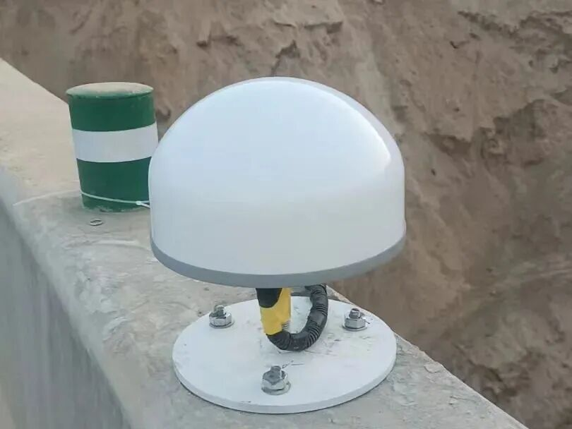
1. N30 Power Integrated GNSS Receiver:
It has millimeter-level monitoring accuracy, strong anti-electromagnetic interference capability, supports multi-sensor fusion, adopts military-grade design, IP67 high protection, suitable for harsh outdoor environments, and can provide high-precision position data. It is applied in geological disaster warning, dam deformation monitoring, and mining slope monitoring scenarios (only as a supplementary module for flight control and navigation data).
05 Micro Navigation
1. N30 Power Integrated GNSS Receiver:
It has millimeter-level monitoring accuracy, strong anti-electromagnetic interference capability, supports multi-sensor fusion, adopts military-grade design, IP67 high protection, suitable for harsh outdoor environments, and can provide high-precision position data. It is applied in geological disaster warning, dam deformation monitoring, and mining slope monitoring scenarios (only as a supplementary module for flight control and navigation data).
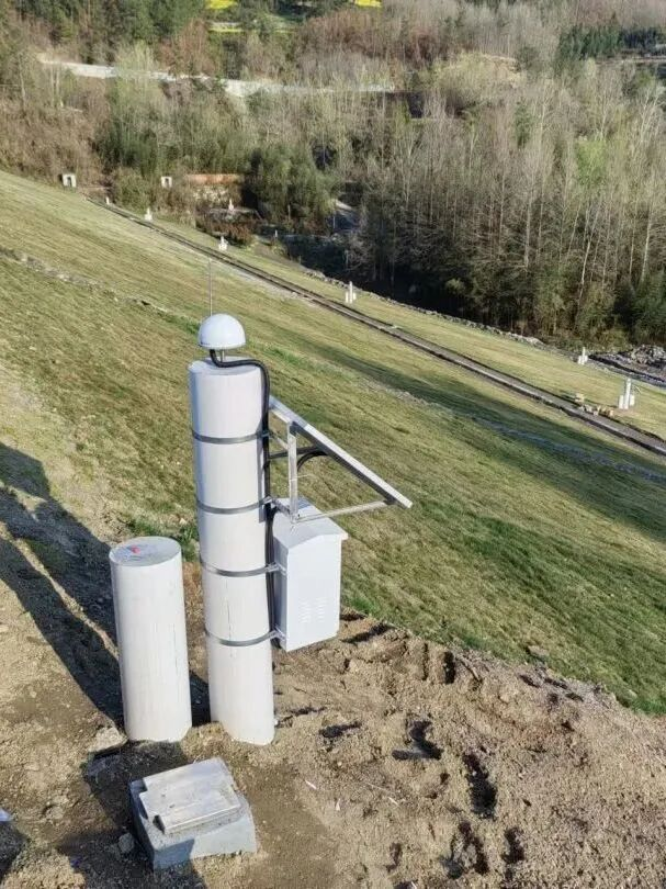
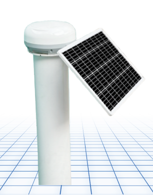
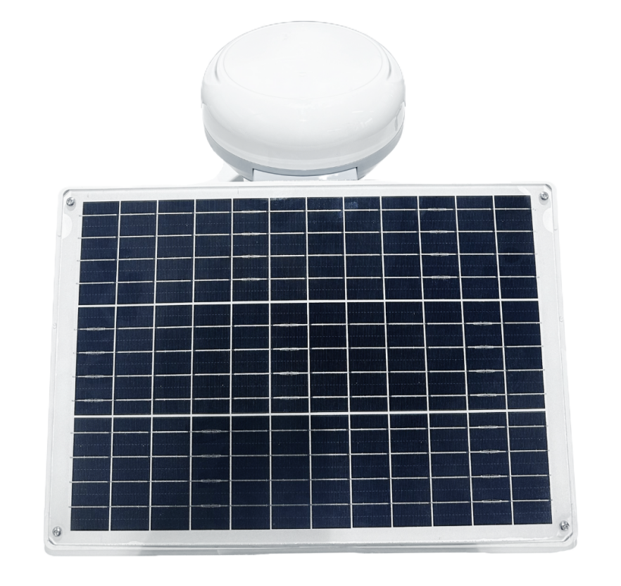
2. D30 Universal GNSS Receiver:
Multi-system multi-frequency design, millimeter-level monitoring accuracy, small size, low power consumption, high protection, supports remote configuration without on-site debugging, focused on displacement monitoring, can be used as an auxiliary component of the flight control navigation module, and applied in bridge, mine, dam monitoring, and territorial and mining boundary management scenarios.

06 Jiuzhou Star Yihui
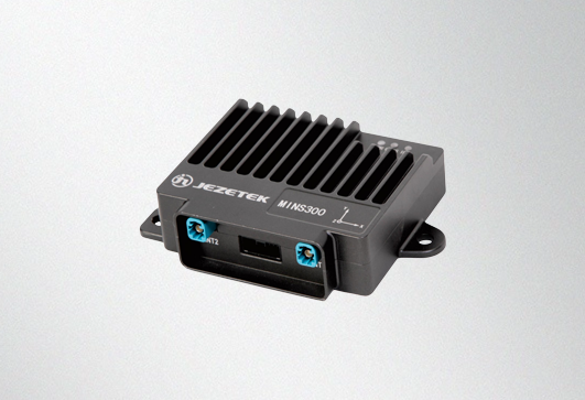
1. MINS300 High Precision Combined Navigation System:
It adopts Beidou + MEMS inertial fusion navigation technology, achieving centimeter-level positioning accuracy, supports anti-obstruction navigation, has strong compatibility for all models, can be integrated as a core module into various multi-rotor and fixed-wing UAV flight control systems, supports OEM/ODM customization services, and is applied in UAV surveying, inspection, and emergency rescue scenarios.
 II. Unlocking New Value for Flight Control System Development
CHINTERGEO China Geomatics and Geographic Information Equipment Exhibition is a professional exchange and display platform for geomatics and geographic information equipment. It has been deeply rooted in the industry for many years, attracting tens of thousands of upstream and downstream enterprises. Here, you will obtain:
✅ Precise Reach: Directly face national surveying institutes, geomatics service providers, energy/transportation/water conservancy end-users;
✅ Ecological Collaboration: Collaborate with GNSS, laser radar, airspace management and other upstream enterprises, jointly build solutions;
✅ Brand Enhancement: Through the official media matrix of CHINTERGEO (WeChat official account, video account, industry media) gain exposure;
✅ Policy Forward-Looking: Participate in the "Low-altitude Economy and Intelligent Surveying" forum, grasp national new basic surveying, 3D reality, etc. strategic directions.
II. Unlocking New Value for Flight Control System Development
CHINTERGEO China Geomatics and Geographic Information Equipment Exhibition is a professional exchange and display platform for geomatics and geographic information equipment. It has been deeply rooted in the industry for many years, attracting tens of thousands of upstream and downstream enterprises. Here, you will obtain:
✅ Precise Reach: Directly face national surveying institutes, geomatics service providers, energy/transportation/water conservancy end-users;
✅ Ecological Collaboration: Collaborate with GNSS, laser radar, airspace management and other upstream enterprises, jointly build solutions;
✅ Brand Enhancement: Through the official media matrix of CHINTERGEO (WeChat official account, video account, industry media) gain exposure;
✅ Policy Forward-Looking: Participate in the "Low-altitude Economy and Intelligent Surveying" forum, grasp national new basic surveying, 3D reality, etc. strategic directions.
III. CHINTERGEO 2026 to Open in Changsha

In November 2026, CHINTERGEO 2026 China Geomatics and Geographic Information Equipment Exhibition will grandly open in Changsha, Hunan Province!
We sincerely invite all enterprises deeply involved in autonomous flight control of unmanned aircraft and surveying-specific flight control terminals, with core technologies and high-quality products, as well as enterprises providing flight control components and UAV surveying services and other similar compatible enterprises, to join the CHINTERGEO 2026 exhibition family!
Here, you can showcase your core products and technologies, build industry brand influence; here, you can link all industry resources, explore cooperation opportunities; here, you can jointly explore new trends in intelligent development of surveying and mapping, and work with industry partners to build an industry ecosystem!


 010-53854065